
The United Nations has backed wider use of a world map that preserves the true relative area of continents, addressing a long-standing distortion in geographic education.
A policy shift in how the world is represented
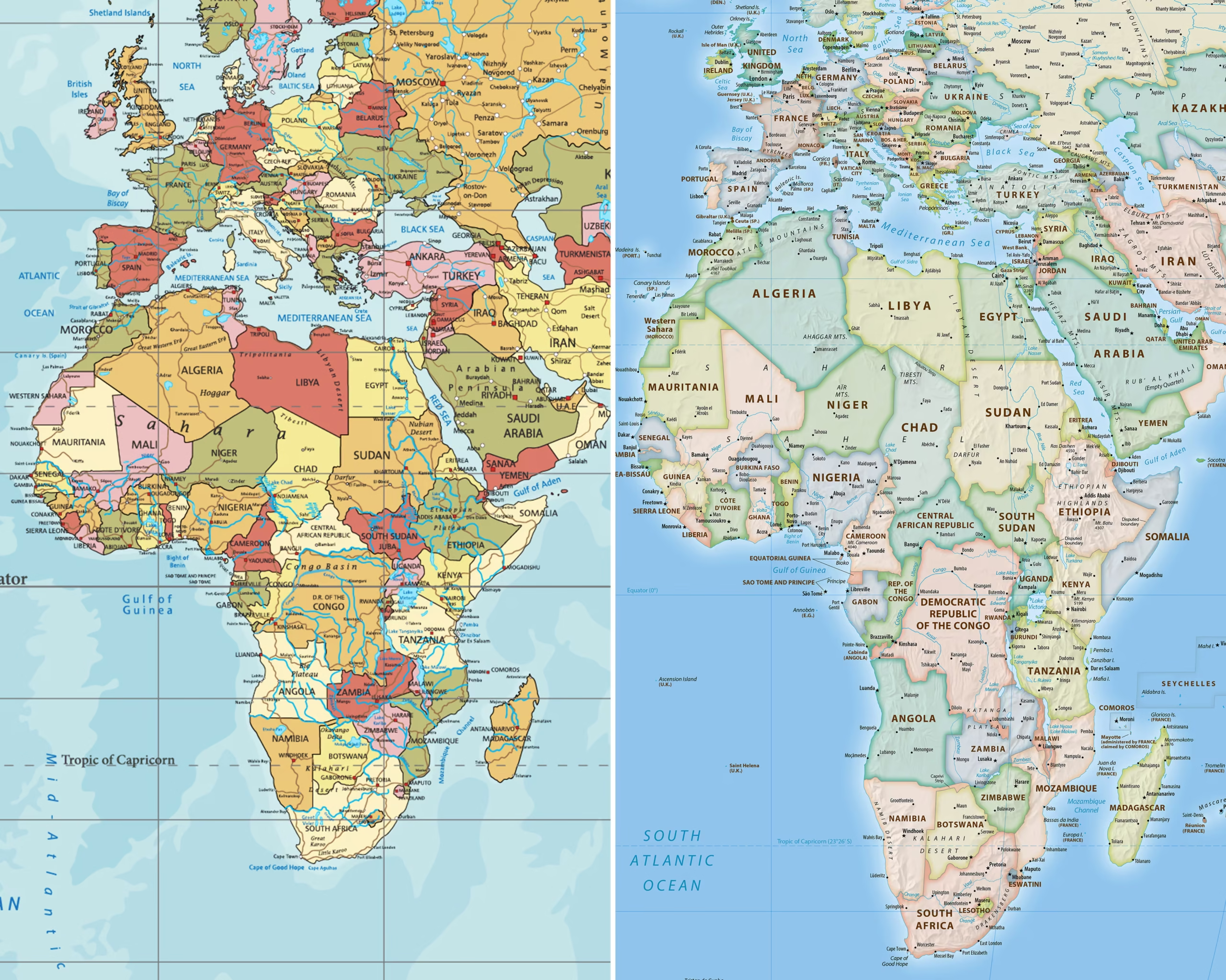
The widely used Mercator projection preserves angles and was valuable for navigation, but it greatly enlarges land near the poles. Africa and other equatorial regions consequently appear far smaller in relation to Europe, Greenland and North America than they are.
Equal-area projections retain comparative size while changing some shapes. Advocates argue that accurate scale is not merely technical: maps influence perceptions of economic, political and demographic importance. Implementation will now depend on educators, publishers and public institutions adopting updated material.